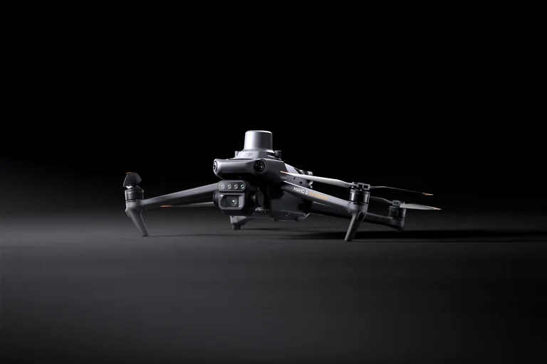
See More, Work Smarter
DJI Agriculture
DJI Mavic 3 Multispectral
Effective aerial surveying needs to see the invisible. That's why Mavic 3 Multispectral has two forms of sight.
It combines an RGB camera with a multispectral camera
to scan and analyze crop growth with total clarity. Agricultural production
management requires precision and data, and Mavic 3M delivers both.
Specifications
| RGB Sensor | 20 MP, 4/3 CMOS |
| Multispectral | 4 × 5 MP (G/R/RE/NIR) |
| Flight Time | 43 min |
| Max Range | 15 km |
| Mapping Rate | 200 ha / flight |
| RTK Accuracy | ±1.5 cm + 1 ppm |
| Weight | 951 g |
| Operating Temp. | -10 – 40 °C |